Hotels in Curaçao
2 cities · 3 hotels
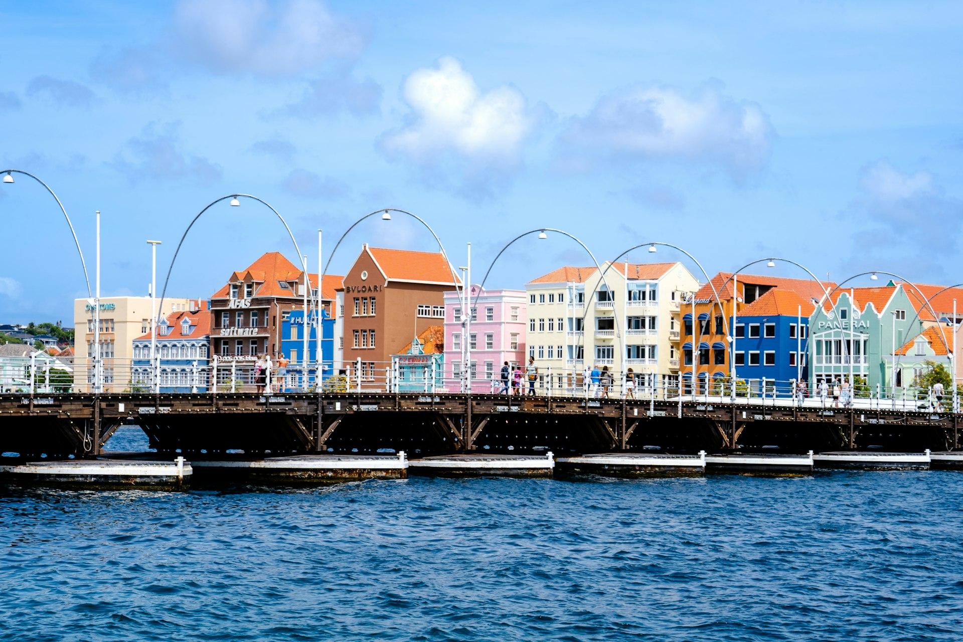
Photo by Bent Van Aeken on Unsplash
Curaçao sits 65 km north of Venezuela in the southern Caribbean, outside the hurricane belt that affects islands farther north. The capital, Willemstad, is a UNESCO World Heritage Site since 1997, its Handelskade waterfront lined with Dutch colonial facades in ochre, blue, and pink. The island spans 444 square kilometers and mixes Dutch, African, and Latin influences visible in language (Papiamentu), cuisine, and architecture.
Curaçao: Beyond the Beaches
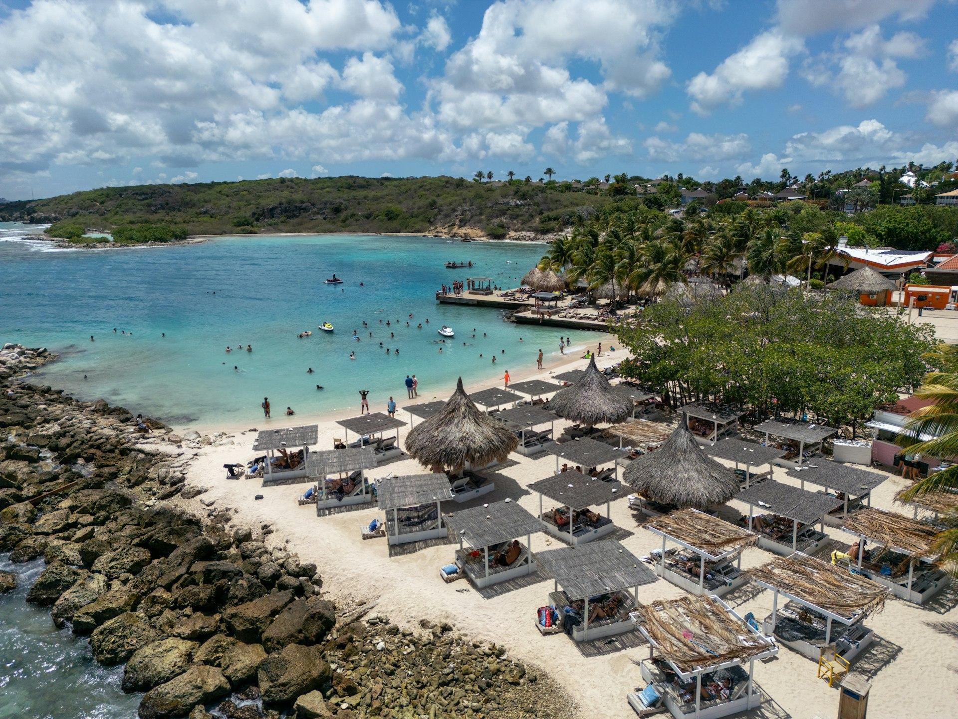
Outside Willemstad, the landscape turns arid — divi-divi trees bent by trade winds, cactus-studded hills, and a coastline of coves rather than long sand strips. Christoffel National Park covers 1,860 hectares in the northwest and includes Curaçao's highest point, Mount Christoffel at 375 meters. The east side holds calmer, reef-protected bays such as Jan Thiel and Mambo Beach, while the west coast (Playa Kenepa, Playa Porto Marie) faces open sea.
Cities Worth Exploring
Willemstad divides into Punda and Otrobanda, connected by the Queen Emma pontoon bridge, which swings open for ship traffic. Punda holds the Mikvé Israel-Emanuel Synagogue, consecrated in 1732 and among the oldest in continuous use in the Americas. Otrobanda's Kura Hulanda district preserves 18th-century merchant houses now converted into museums and guesthouses. Jan Thiel, on the southeast coast, has developed into a resort and dive-lodge cluster near a saliña (salt lagoon) that draws flamingos seasonally. Westpunt, at the island's northwestern tip, remains a fishing village and the departure point for boat trips to Playa Kenepa.
Diving and the ABC Reef
Curaçao's fringing reef begins just offshore in many spots, reachable by shore entry rather than boat — a rarity in the Caribbean. Visibility often exceeds 25 meters, and the Superior Producer wreck near Willemstad's harbor mouth sits at 34 meters. The dry climate, averaging under 600mm of rain annually, keeps runoff and reef silting low year-round.
Practical Tips for Visiting Curaçao
- When to go: December through April brings the driest weather; the island sits below the hurricane belt, so storm risk stays low year-round.
- Getting around: Rent a car for west-coast beaches and Christoffel Park; taxis and short flights serve Willemstad and the airport well.
- Currency and language: The Netherlands Antillean guilder is standard; US dollars are widely accepted; Papiamentu, Dutch, and English are commonly spoken.
- Airport access: Hato International Airport (CUR) lies about 15 minutes from central Willemstad.
- Diving logistics: Shore diving is common; bring proof of certification for rental gear.
Frequently Asked Questions
Q: What is the closest region for direct booking near Willemstad's historic district? A: Punda and Otrobanda hold the highest concentration of guesthouses and boutique hotels, walkable to the Queen Emma Bridge and the Kura Hulanda museum quarter.
Q: Is Curaçao affected by Caribbean hurricane season? A: The island sits south of the main hurricane belt, so tropical storm activity is rare compared to islands farther north like Puerto Rico or the Bahamas.
Q: What is the diving like compared to other Caribbean islands? A: Much of the reef is accessible directly from shore rather than by boat, with visibility frequently exceeding 25 meters and low annual rainfall keeping the water clear.
Q: How far is the airport from central Willemstad? A: Hato International Airport is roughly 15 minutes by car or taxi from the Punda and Otrobanda districts.